Buyers looking at Marin County real estate often focus on the schools, the redwood forests, and the proximity to the Golden Gate Bridge. However, understanding the weather and climate in Mill Valley CA is just as critical when evaluating a property. The local environment dictates everything from daily commute logistics to long-term property maintenance.
Mill Valley features a unique geography where the slopes of Mount Tamalpais meet the San Francisco Bay. This topography creates highly localized weather conditions that can shift dramatically within a single zip code. Knowing how these patterns operate will help you choose a home that aligns with your lifestyle and comfort preferences.
Understanding the Mediterranean Climate in Mill Valley
The baseline weather pattern here is a classic Mediterranean climate. Residents enjoy average high temperatures consistently hovering in the 60s to mid-70s year-round. Summer highs typically peak around an approximate 77 degrees, while winter lows rarely dip below 43 degrees.
While the temperatures remain mild, the year is sharply divided between wet winters and dry summers. Seasonal heavy rain is largely concentrated between November and March, bringing an average annual rainfall of roughly 41 inches. These wet winters keep the surrounding redwood forests lush and green.
During the dry summer months, the area relies on the cooling influence of coastal fog rolling in from the Pacific Ocean. This marine layer moderates the afternoon heat and provides essential moisture to the local ecosystem. My primary takeaway for buyers is that you never truly need to pack away your light jackets, as evening temperatures drop reliably once the fog arrives.
Decoding Mill Valley Microclimates
The concept of Marin County microclimates is something every buyer must grasp before making an offer. A short five-minute drive through town can mean shifting from thick, cool fog to bright, intense sunshine. Topography is the driving force behind these rapid localized changes.
Elevation changes and the steep slopes of Mount Tamalpais actively block or channel wind and coastal moisture. Temperature and sunlight exposure can vary significantly within just a few hundred feet of elevation change. Understanding exactly where a property sits within these zones is essential for setting accurate expectations about your daily environment.
Buyers often assume that neighboring streets share the exact same National Weather Service data, but the reality is much more fragmented. We generally divide the local housing inventory into three distinct geographical experiences based on how they interact with the elements.
Canyons, Ridges, and Bayside Flats
The specific neighborhood environment you choose will dictate your daily weather experience. Winds on the ridges and coastal flats can frequently reach 10 to 15 mph, while the canyon floors remain entirely still.
-
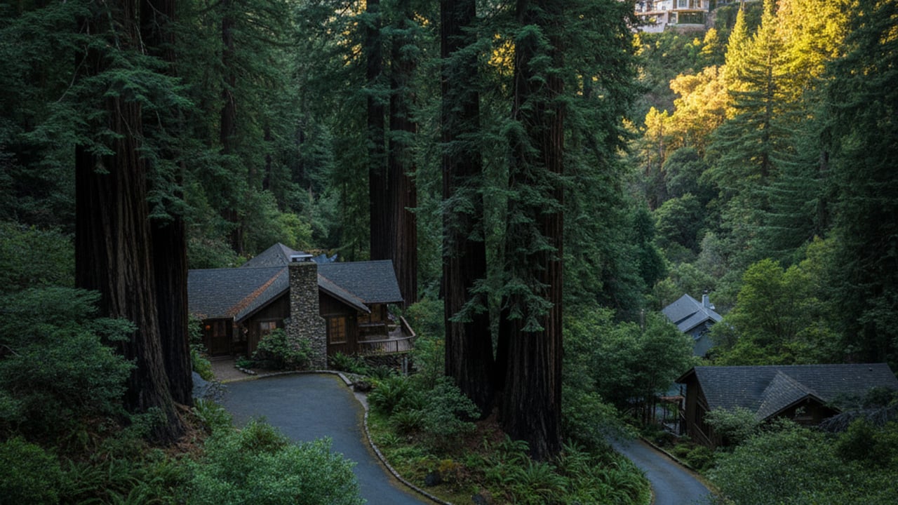
Redwood Canyons: Neighborhoods like Cascade Canyon and Blithedale Canyon experience deep shade and cooler year-round temperatures. The dense canopy cover means these properties dry out slowly after heavy rain.
-
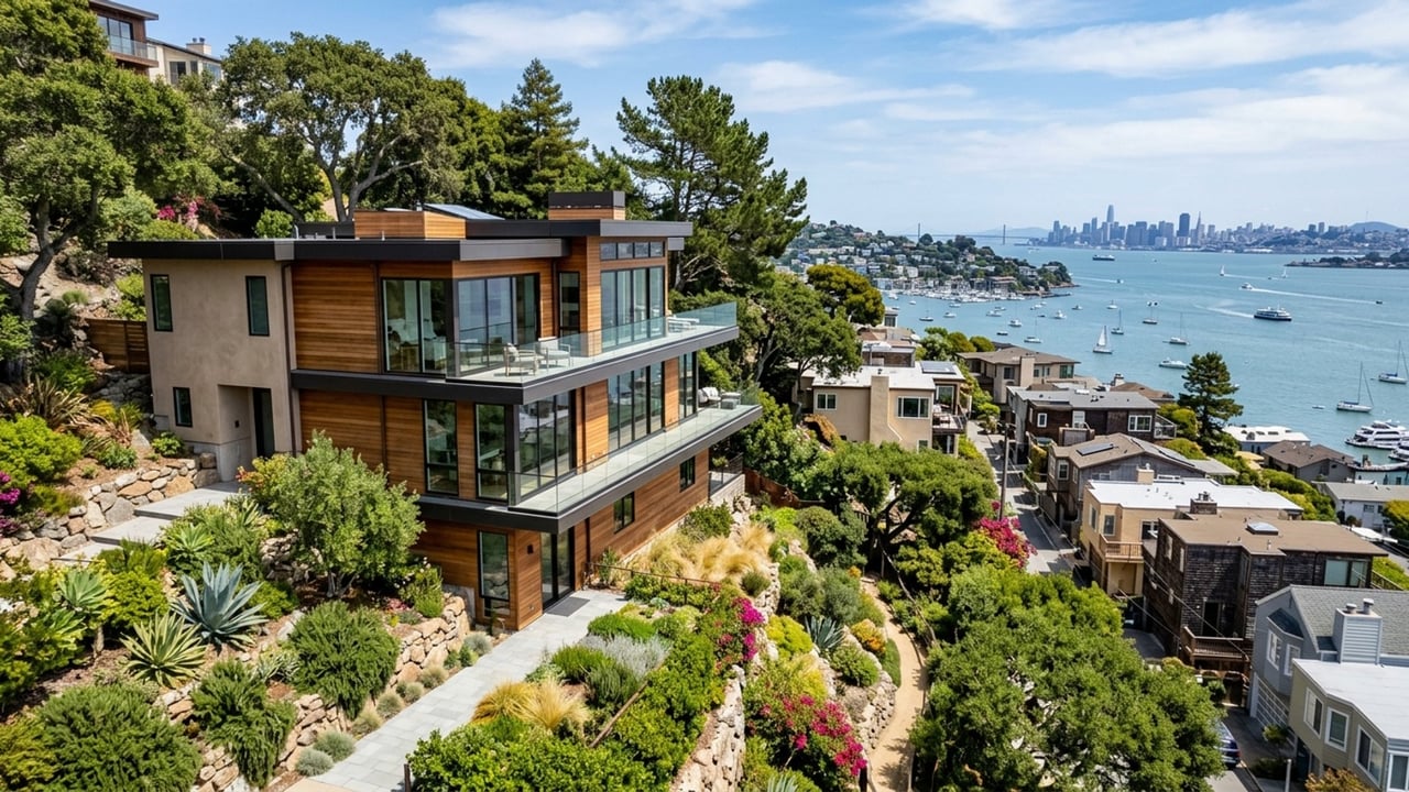
Sun-Exposed Ridges: Areas along Middle Ridge enjoy earlier morning light, consistent sunshine, and much less fog retention. These elevated lots face higher winds but reward buyers with expansive views.
-
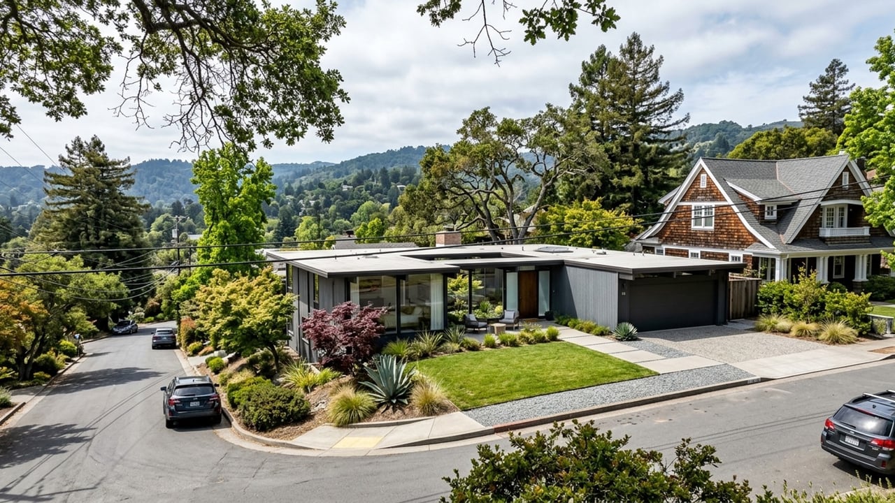
Bayside Flats: Communities in Almonte and Tamalpais Valley face stronger marine influence and frequent morning fog during summer months. These neighborhoods also experience breezy afternoons as winds pull off Richardson Bay.
How Weather Influences Real Estate Values and Property Features
Objective weather data translates directly into property pricing across Southern Marin County. Homes with maximum winter sun exposure and unobstructed ridge views often command a market premium compared to shaded valley floor properties. Current median home prices generally range from $1,800,000 to $2,400,000, but these figures fluctuate heavily based on lot sunlight and elevation.
Microclimates also dictate the physical features and maintenance requirements of a home. Sun-drenched ridge properties are highly viable for solar panel installations, though their exposed decks require proactive wind mitigation. Conversely, homes tucked into damp redwood canyons need robust moss management and enhanced drainage systems to handle wet winters.
The local climate heavily influences how you utilize outdoor living spaces throughout the year. Canyon patios often require strategic landscaping to maximize limited natural light, while ridge-top terraces need shade structures for hot September afternoons. Buyers should prioritize homes where the exterior spaces are designed to work in harmony with the specific microclimate of the lot.
Navigating the Winter Commute to San Francisco
The rainy season brings specific logistical challenges for anyone traveling south to San Francisco. Winter storms and heavy rain can severely impact drive times on Highway 101 and the Golden Gate Bridge. Standard peak drive times range from 30 to 65 minutes, but those numbers increase sharply when precipitation slows down the corridor.
Buyers who prioritize a predictable schedule should look closely at local maritime transit options. The Larkspur and Sausalito ferries offer a highly predictable 30 to 35-minute crossing that remains largely unaffected by highway traffic. Riding the ferry provides a weather-resilient transit schedule while offering a much more relaxing start to the day.
For those who prefer land-based travel, Golden Gate Transit express buses serve as an excellent hands-off alternative. Utilizing the bus network removes the stress of driving in severe weather conditions and takes advantage of dedicated transit lanes. Factoring these transit alternatives into your property search will save you significant frustration during the wettest months of the year.
Year-Round Access to Outdoor Amenities
One of the strongest value propositions of Mill Valley real estate is the continuous access to nature. The distinct lack of extreme heat or freezing winter days allows for uninterrupted outdoor recreation. This consistent climate is a major draw for buyers moving from regions with harsh, restrictive winters.
The town averages over 250 sunny days per year, making it an exceptional basecamp for active lifestyles. Residents have immediate proximity to Muir Woods National Monument and Mount Tamalpais State Park for world-class hiking in the redwood forests. You can easily hike the trails of "Tam" in January just as comfortably as you might in July.
Local infrastructure also supports this year-round outdoor focus. The Mill Valley - Sausalito Multiuse Pathway serves as a vital, weather-friendly asset for walking, cycling, and local commuting. Having paved, accessible trails available regardless of recent precipitation adds massive practical value to the surrounding neighborhoods.
Frequently Asked Questions
How cold does Mill Valley get in winter?
Winter temperatures are quite mild, with average seasonal lows rarely dropping below an approximate 43 degrees. The area does not experience freezing days or snow, meaning you will not need to worry about winterizing pipes. Heavy rain is the primary winter weather event rather than extreme cold.
What is the marine layer and how does it affect daily weather?
The marine layer is a thick coastal fog that rolls in from the Pacific Ocean, primarily during the summer months. It acts as a natural air conditioner, dropping evening temperatures back into the 50s after a warm afternoon. This daily cycle means residents typically dress in layers regardless of the season.
Does Mill Valley weather impact property insurance?
Yes, the specific microclimate of a property can influence insurance requirements and maintenance costs. Homes on dry, sun-exposed ridges face stricter defensible space requirements for wildfire mitigation. Properties in shaded canyons often need specialized policies or riders to account for potential drainage issues during wet winters.