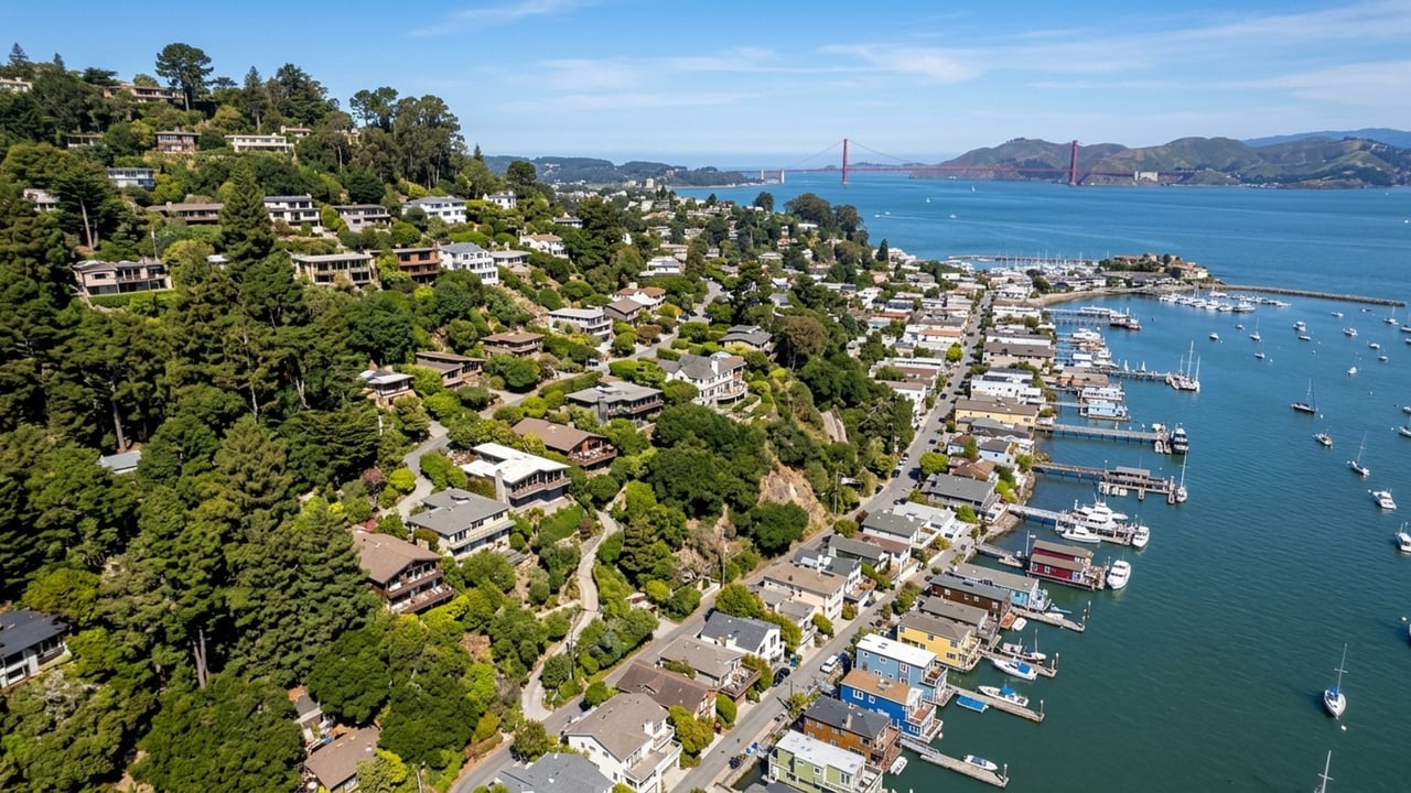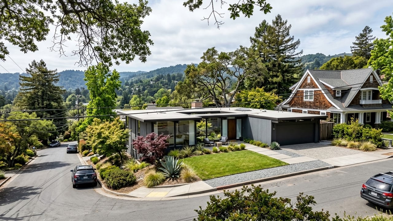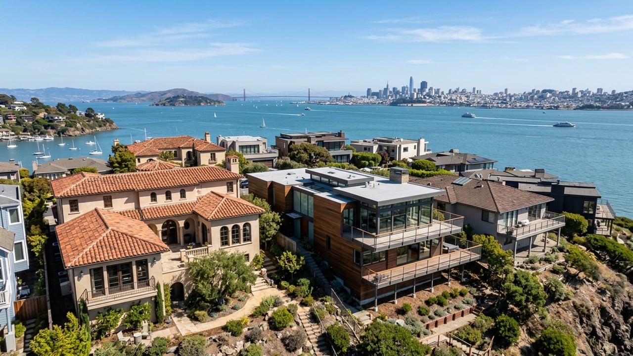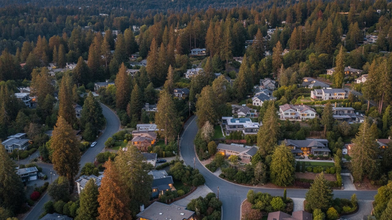
Relocating to Marin County, CA, often brings up immediate questions about daily mobility, regional infrastructure, and local commute times. Set against the backdrop of Mount Tamalpais and the San Francisco Bay, Mill Valley offers a distinct blend of redwood-lined streets and access to major metropolitan hubs. Understanding the local transportation network is essential for anyone evaluating a home purchase in this part of the North Bay.
Whether you are traveling south toward the Golden Gate Bridge or navigating the downtown area for weekend errands, transportation options here are diverse. Residents balance private vehicles, regional transit, and an extensive network of hiking and biking trails to manage their weekly routines. Getting around Mill Valley, CA requires a bit of planning, but the available routes make connecting to the wider San Francisco Bay Area highly efficient.
Driving and Commuting to San Francisco
For a majority of residents, driving remains the primary method for commuting into San Francisco or down the peninsula. The main artery connecting the city to the broader region is U.S. Route 101 in California, which leads directly to the Golden Gate Bridge. During weekday morning peak hours, traffic congestion typically builds up near the Richardson Bay bridge and the Sausalito exits, requiring strategic departure times.
Navigating this stretch requires factoring in average drive times of 35 to 50 minutes to reach the downtown financial sector. Leaving before 7:00 AM or waiting until after 9:30 AM can significantly reduce your time spent sitting in heavy traffic. For those working in North Bay business centers, the reverse commute heading north toward San Rafael or Corte Madera is generally much lighter and moves at the posted speed limit.
Airport travel is another crucial consideration for frequent flyers living in Marin County who need reliable departure routes. Driving to San Francisco International Airport usually takes about an hour under normal conditions, though Friday afternoon traffic can push that closer to 90 minutes. Oakland International Airport offers a comparable alternative for domestic flights, often taking around 55 minutes via the Richmond-San Rafael Bridge.
Beyond the daily commute, weekend driving patterns shift heavily toward recreational traffic along the coast. Routes heading out toward Stinson Beach or Mount Tamalpais often experience significant slowdowns on sunny Saturdays. Knowing these local traffic patterns helps residents plan their weekend excursions without getting caught behind a line of tourist vehicles.
Public Transportation Options in Mill Valley
Residents who prefer to leave the car at home have access to a robust network of regional public transport. Golden Gate Transit operates several commuter lines, including Route 114, which provides weekday service directly into the San Francisco Financial District. This transit bus option allows professionals to bypass bridge tolls entirely and utilize high-occupancy vehicle lanes during peak hours.
For localized travel within Marin County, Marin Transit Route 17 is a highly utilized public transportation option. This specific route connects Mill Valley to neighboring hubs like Sausalito, Marin City, and the transit center in San Rafael. These local buses provide a reliable alternative for reaching regional shopping centers or connecting to larger transit networks without navigating crowded parking lots.
Water transit remains one of the most scenic and stress-free public transportation options available in the entire region. Commuters frequently utilize the nearby Larkspur Ferry Terminal or the Sausalito Ferry Terminal for direct access to the San Francisco Ferry Building. Taking the ferry transforms a standard weekday commute into a relaxing 30-minute ride across the San Francisco Bay.
Connecting to the broader Bay Area Rapid Transit system requires a brief transfer, but the routes are well established. Riders can take a bus across the Richmond Bridge to reach the El Cerrito del Norte BART station, or take the ferry into the city to access the Embarcadero station. Additionally, the SMART train in nearby Larkspur offers a modern rail connection extending further north into Sonoma County.
Biking, Walkability, and Pedestrian Infrastructure
The layout of Mill Valley strongly supports pedestrian activity and cycling, particularly near the central commercial district. The downtown area features a high concentration of boutique shops, cafes, and essential services within a very compact footprint. Navigating this section on foot is highly efficient and eliminates the need to search for limited parking spaces during busy weekend afternoons.
One of the most unique pedestrian features of the city is the historic Steps, Lanes, and Paths network. Originally built more than a century ago, these hidden stairways connect steep hillside neighborhoods directly to the valley floor. They provide residents with a rigorous but direct walking route to downtown, bypassing the winding residential roads entirely.
Cyclists heavily utilize the Mill Valley-Sausalito Multiuse Path, which runs along the scenic edge of Richardson Bay. This flat, paved trail offers a protected route for both recreational riders and those commuting toward the Sausalito Ferry Terminal. It serves as a vital piece of local infrastructure that keeps non-motorized traffic completely separated from busy highway thoroughfares.
Beyond paved commuter routes, the area is renowned for its world-class access to Mount Tamalpais and surrounding open spaces. A vast network of hiking and biking trails extends directly from residential streets into the surrounding redwood forests. For outdoor enthusiasts, this seamless transition from neighborhood sidewalks to wilderness trails is a major draw for relocating to the area.
Rideshare, Taxis, and Local Shuttles
On-demand transportation is readily available throughout southern Marin County, though it operates differently than in dense urban centers. Ridesharing companies like Uber and Lyft service the area consistently, but wait times can vary depending on your exact location. Requesting a ride from the downtown area usually takes less than ten minutes, while hillside properties may experience waits of up to twenty minutes.
Traditional taxi services and private car hire remain highly popular, especially for scheduled airport runs or corporate travel. Booking a dedicated car service to SFO or OAK ensures a guaranteed pickup time, which is crucial for early morning flights. Many residents prefer this reliability over hoping a rideshare driver happens to be nearby at 4:00 AM.
For local events or commuting flexibility, the city maintains several park-and-ride locations along the U.S. Route 101 corridor. These dedicated lots allow residents to carpool easily or catch regional transit buses without navigating neighborhood traffic first. Utilizing these shared lots is a practical strategy for reducing individual vehicle use and cutting down on daily commute costs.
Reaching major tourist destinations like Muir Woods National Monument requires specific planning due to strict environmental protections. As of 2026, the official seasonal shuttle remains the most efficient way to access the park during peak visitor months. Visitors and locals alike can board the shuttle at the Larkspur transit hub, bypassing the winding drive and guaranteed parking shortages at the monument entrance.
Frequently Asked Questions About Mill Valley Transportation
Is Mill Valley walkable?
The downtown area is highly walkable, featuring flat terrain and close proximity to grocery stores, restaurants, and retail. Hillside neighborhoods are connected to the center via the historic Steps, Lanes, and Paths system, though these routes involve steep inclines. Walkability decreases significantly as you move further away from the commercial core into the residential canyons.
Can I get around Mill Valley without a car?
Living here without a personal vehicle is possible, particularly if your home is near the central commercial district. Residents frequently rely on bicycles, the Mill Valley-Sausalito path, and Marin Transit buses for daily errands. However, owning a car provides the necessary flexibility for exploring the wider North Bay or reaching remote trailheads.
Are there any public transit options to get from Mill Valley to downtown Oakland?
Yes, you can reach Oakland using a combination of regional transit systems. The most common route involves taking a Golden Gate Transit bus across the Richmond-San Rafael Bridge to the El Cerrito del Norte BART station. From there, a direct BART train will take you straight into downtown Oakland.
What is the best way to get to Muir Woods from Mill Valley?
The most reliable method is utilizing the official Muir Woods shuttle, which requires advance reservations. Driving personal vehicles directly to the park is highly restricted, and parking spaces must be booked weeks in advance. Taking the shuttle from the Larkspur transit center completely eliminates the stress of securing a parking spot.
Are there Ubers in Mill Valley?
Uber and other rideshare services operate actively throughout the area. While you can easily secure a ride, wait times are typically around 10 to 15 minutes, which is slightly longer than in nearby San Francisco. For time-sensitive trips like airport departures, scheduling a traditional taxi or private car service in advance is highly recommended.